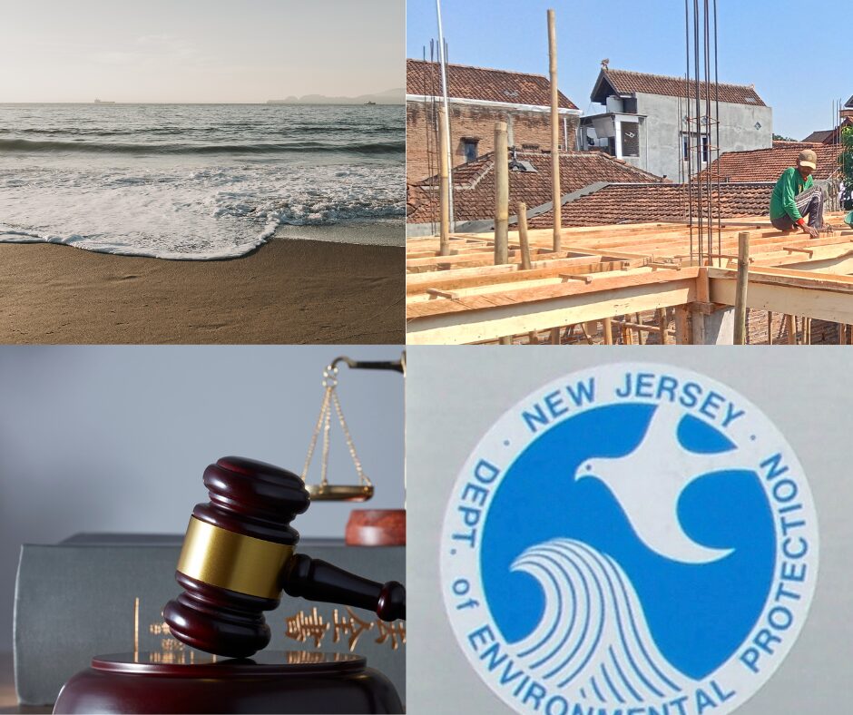
REAL (Resilient Environments and Landscapes) is the Department of Environmental Protection’s (DEP) effort to update the state’s flood, coastal, wetlands and stormwater rules. The process behind the change is driven by the belief that the climate is changing and NJ’s building standards need to keep up. But the proposal, which is very close to being finalized, has raised concerns from counties and municipalities and is setting up a debate that will decide how the Garden State grows over the next 30 years.
REAL updates several major environmental programs at once and uses newer climate modeling- layering new data on older FEMA maps in identifying higher flood risk areas. The rules outline several changes in these “high risk” areas…
-New buildings need to sit higher above projected flood levels
-Developers have to comply with stricter stormwater requirements designed to reduce runoff and downstream flooding
-Certain wetlands and coastal protection areas will expand.
-Projects in environmentally sensitive areas will face updated review standards.
The DEP sees REAL as a modernization of long-standing environmental protections that simply aligns programs and building requirements with the storms and flood patterns New Jersey is already experiencing.
REAL specifically addresses coastal and tidal areas and follows the Inland Flood Protection Rule adopted by the DEP in July 2023. That earlier rule established higher standards for riverine (non-tidal) flood areas by requiring a minimum of two feet and in some cases three feet, of elevation above the current flood hazard area for new or substantially reconstructed development. It requires developers to use projected year-2100 precipitation data for stormwater calculations. Together, the Inland Rule and REAL complete the state’s overhaul of flood standards under the broader PACT (Protecting Against Climate Threats) initiative.
Support and Push-back
On one side of the debate are municipal officials and environmental groups that support REAL and argue that the outdated maps have left too many communities vulnerable. They believe that towns need clearer standards to steer growth toward safer areas.
On the other side – potential cost and regulatory consideration are driving the push-back. Counties, like Cape May, are worried about economic impact on communities and property owners along the coast. Developers and builders fear that higher elevation standards, larger buffers and more complicated designs will increase construction costs which, in turn, would create financial barriers to redevelopment in older or low-lying areas. Some towns are worried about how these changes may affect local tax bases or redevelopment plans that already got the green light.
In Ocean County, officials question whether the updated rules will complicate post-storm rebuilding and worry that some homeowners may face new hurdles. The concerns aren’t dismissive about the environmental challenges driving the rule changes – it’s more about the timing, affordability and the level of flexibility available to towns and property owners.
Cape May County is already going legal. On 11/2025, County Commissioners passed a resolution opposing REAL and authorizing litigation against the State of New Jersey – the suit will likely occur after they figure out “time and place”. The argument centers on regulatory authority, the claim being that a change of this scale should be enacted through legislation rather than executive branch rule rewrites. Challenges to statewide regulations typically go directly to the Appellate Division.
Another concern is the potential impact on affordable housing, especially in urban areas with high mandates. In response to criticism that the new elevation and design rules would make these projects impossible, the DEP revised the final proposal to explicitly clarify that affordable housing developments qualify as a “compelling public need.” This designation allows affordable housing projects an easier path for hardship exceptions from strict flood standard compliance as long as public safety is not unreasonably compromised. Some business groups feel the opportunity for flexibility is still too narrow to offset the cost impact of the changes.
One notable concession – the new rules create an Inundation Risk Zone in coastal areas which are on target to be inundated by the tides two times a day. As a response there was a 3% impervious cover limit in those areas that was removed in July 2025 as a response to developer concerns.
Timeline and Elevation Revision
Based on the current timeline, REAL is expected to be adopted some time in early 2026 and after that a 180 day review period kicks in for “legacy projects” that have already completed applications to be looked at under the old rules. The DEP put out the initial proposal in 08/2024 and dropped a revised version on 07/2025 with a public comment period (for the revision) that closed on 09/2025.
A major revision lowered the proposed elevation requirement in tidal areas from five to four feet above base flood elevation, a nod to cost concerns and updated climate data that (modestly) reduced the most conservative projection for rising sea levels.
If implemented REAL will make development in higher risk areas more challenging and expensive. Planning boards will have to go back to the drawing board on master plans and some property owners might face new rules on elevation requirements however, its important to keep in mind that the rules mostly apply to new construction and substantial redevelopment – not routine repairs.
As always it comes down to competing perspectives – DEP emphasizes that REAL is based on the latest climate science and sea-level rise projections while those opposed (like Cape May County) question these projections and their impact -expanded regulatory scope.
Sources & Further Reading
Key primary sources and official documents related to New Jersey’s REAL rules and flood protection standards:
- DEP REAL Portal: DEP dedicated “Resilient Environments and Landscapes” portal
- REAL Overview: Scope and scientific basis of the REAL proposal
- Inland Flood Protection Rule: DEP information on the Inland Flood Protection Rule
- DEP Fact Sheet on Substantial Change: Fact sheet outlining revised elevation standards and concessions
- Cape May County Resolution: 11/12/2025 agenda and resolution opposing the REAL rules
|
Related Articles

NJ WARN On Track for 4-Year High: BH & Madison on the 2026 Lay-Off Radar

This Week in Trenton: Four Bills Worth Watching Alongside the Budget Hearings