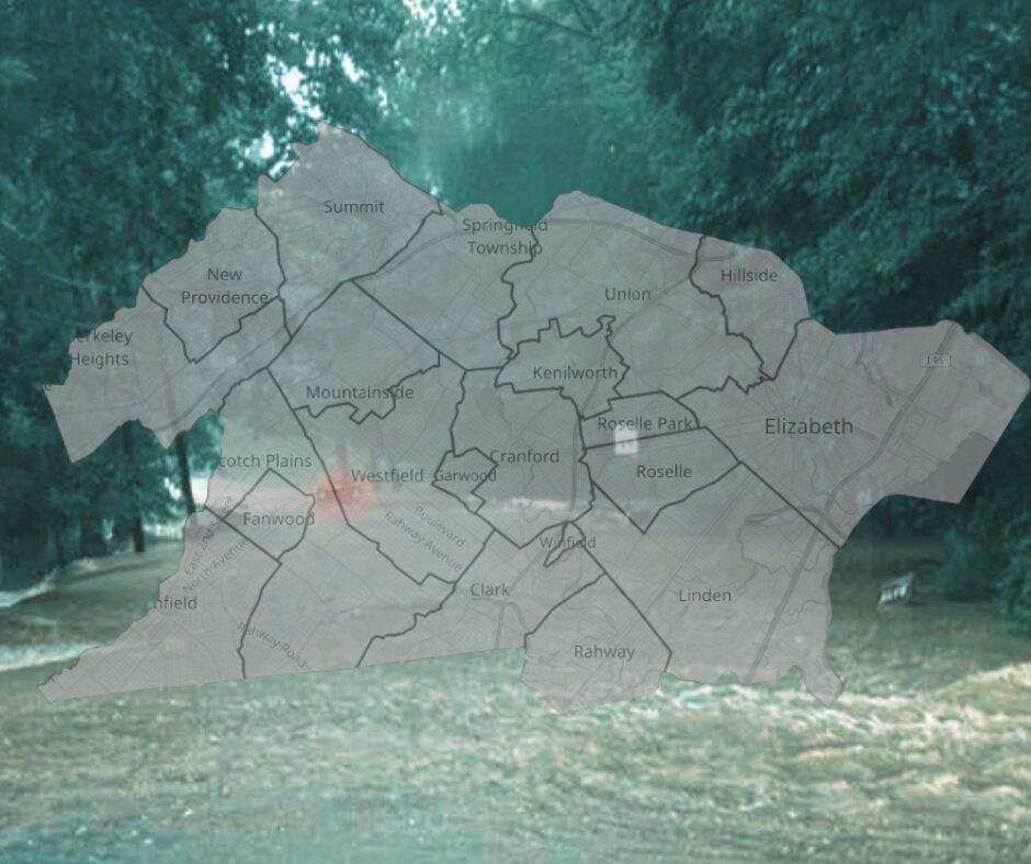
Union County is holding its final public meeting on the Draft 2026 Hazard Mitigation Plan (HMP) on Wed. 02/25/26 @ 630pm.
This plan puts numbers to the flooding issues many residents have been bringing up in Council Meetings for years. It’s also a requirement for communities to remain eligible for funding tied to disaster relief and mitigation and serves as part of a paper trail they’ll need to boost their chances of getting grant dollars.
Loss History and Loss Gaps
The HMP shows close to 3,000 active National Flood Insurance Program policies in Union County with 7,104 losses and over $153M in claim payments as of 2024.
Union County NFIP Loss Snapshot
Selected municipalities, policies, losses and total NFIP claim payments
| Municipality | Policies | Losses | Total Paid |
|---|---|---|---|
| Cranford | 508 | 1,640 | $53,174,837.89 |
| Rahway | 333 | 1,014 | $27,261,907.85 |
| Union | 184 | 517 | $12,258,707.16 |
| Plainfield | 715 | 1,026 | $8,656,404.99 |
| Scotch Plains | 167 | 286 | $5,783,816.76 |
| Berkeley Heights | 120 | 100 | $1,482,935.39 |
It also shows 556 Repetitive Loss (RL) properties and 168 Severe Repetitive Loss (SRL) properties -724 combined.
The combined RL/SRL table shows only 9 mitigated properties countywide- all of them in Cranford.
Union County Repetitive Loss Summary (Draft HMP 2026)
Repetitive Loss and Severe Repetitive Loss properties by municipality, with the countywide total
| Municipality | RL | SRL | Total | Mitigated |
|---|---|---|---|---|
| Berkeley Heights | 3 | 1 | 4 | 0 |
| Clark | 8 | 4 | 12 | 0 |
| Cranford | 181 | 103 | 284 | 9 |
| Elizabeth | 18 | 2 | 20 | 0 |
| Garwood | 2 | 1 | 3 | 0 |
| Hillside | 31 | 3 | 34 | 0 |
| Kenilworth | 11 | 0 | 11 | 0 |
| Linden | 22 | 5 | 27 | 0 |
| Mountainside | 2 | 0 | 2 | 0 |
| New Providence | 7 | 0 | 7 | 0 |
| Plainfield | 74 | 8 | 82 | 0 |
| Rahway | 88 | 20 | 108 | 0 |
| Roselle | 36 | 5 | 41 | 0 |
| Roselle Park | 2 | 0 | 2 | 0 |
| Scotch Plains | 19 | 1 | 20 | 0 |
| Springfield | 13 | 5 | 18 | 0 |
| Summit | 5 | 1 | 6 | 0 |
| Union | 29 | 9 | 38 | 0 |
| Westfield | 2 | 0 | 2 | 0 |
| Union County Total | 556 | 168 | 724 | 9 |
These 556 properties are connected to the ~$36.5 million in claims since 1978 but that count is small relative to the footprint.
It’s important to note that in another part of the document an RL-Table shows 25 mitigated properties -it’s not clear how/why the combined table is lower but the draft makes it clear the data is coming from different places.
Community Rating System -CRS
CRS is a FEMA program that creates incentives for towns to improve mitigation efforts through discounts on flood insurance premiums. It’s one of the more measurable blueprints around for improving standards, documentation and public outreach.
According to the HMP only five towns in Union County participate, – Cranford, Linden, Rahway, Roselle and Roselle Park.
Berkeley Heights, Plainfield and Scotch Plains joined in the ‘90s but now they’re showing as rescinded. When a town drops out or never enters the folks that live there can lose out on those discounts.
With that said, while Roselle Park participates in the program its residents don’t get the break because it’s categorized as a ‘Class 10’ – meaning way more has to be done in order for the discounts to start showing up. Moving up the ladder is earned through improved mitigation efforts – the more you mitigate, the closer to ‘1’ you get and the better the rewards.
So why would a Town drop out or remain ‘stuck’ on a non-benefit tier?
Because while the benefits of discounts on premiums seem like a big carrot, it’s elusive and even harder to keep once you have them. One factor involves the amount of work and resource involved to earn and keep even the lowest level discounts – paperwork, audits and, in some cases, a new position depending on a Town’s current staffing level. Then there ‘s how the political and legal framework in NJ crashes into the programs scoring system (open space/building elevation v. developers). So if a town doesn’t have a high number residents holding active flood policies the cost benefit just isn’t worth it.
Development in Danger Zones
Berkeley Heights has The Clarus, a 211 unit project in a floodplain – completed in 2025.
Cranford has a nearly 300-unit project at Birchwood that falls within the NJ Inland Design Flood Elevation zone.
And the NJDEP 2023 flood rule is now setting the design elevations for downtown redevelopment even though Scotch Plains is using FEMA maps from 2006.
So new development is still being approved in flood risk areas at the same time new flood rules are being integrated
As we’ve shown (clearly) towns can set up studies, form committees and develop plans but residents still need to fight for a clear paper trail that outlines action connected to a timeline.
So it really comes down to one simple question…
What’s the plan to improve the mitigation numbers and how will this be tracked publicly?
That’s sort of two questions.
If the county wants public trust then it needs to publish priorities and timelines that connect directly to the loss history and not turn mitigation into a promise that resets every five years.
See All Articles on Environment
|
Related Articles

Scotch Plains’ New Budget Explained: Taxes, Spending, and Debt
Cranford Budget Growth: Rising Costs and the Search for Detailed Data